
Every hunter knows the wind decides the sit. The Stand puts all of your stands on a satellite map and draws the wind on top of them, so you can see which stands the wind suits before you walk in — and where your scent will drift once you are up the tree.
Every stand on satellite imagery
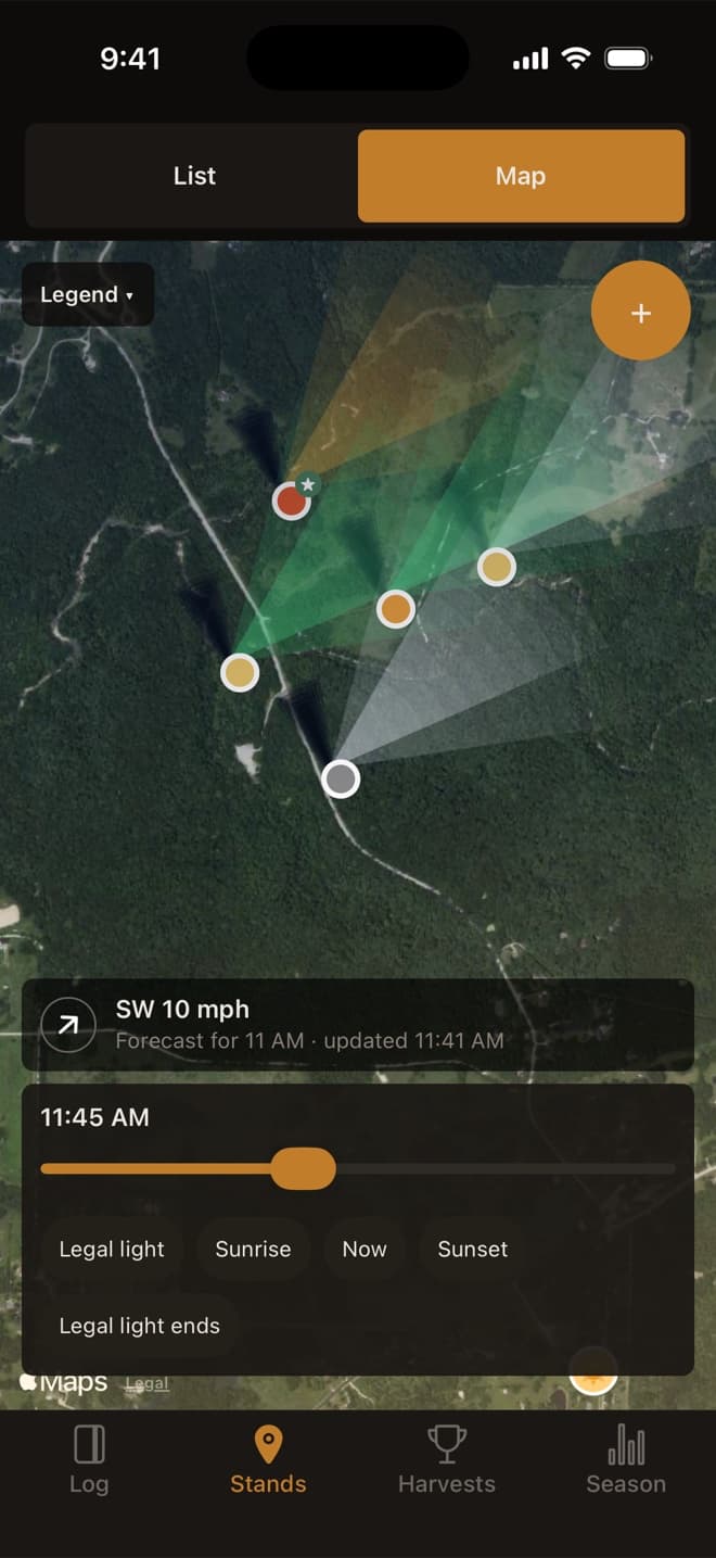
Switch the Stands tab from List to Map and every stand with a pin appears on satellite imagery. Each pin is colored by how many deer you see per sit there, so the stands that produce stand out from the ones that only feel like they should.
A scent plume from every stand
A plume drawn from each stand shows where the wind carries your scent: green when the wind suits that stand, amber when it does not. The wind comes from the hourly forecast, from the sit you are logging, or from a direction you set yourself, and if you lose signal the map keeps using the last forecast it saved.
The sun and the shadows
Drag the time slider, or tap legal light, sunrise, now or sunset, to watch the light and each stand’s shadow move through the day. It is the quickest way to see which stands put the morning sun in your eyes and which keep you in shade at last light.
Which stand today?
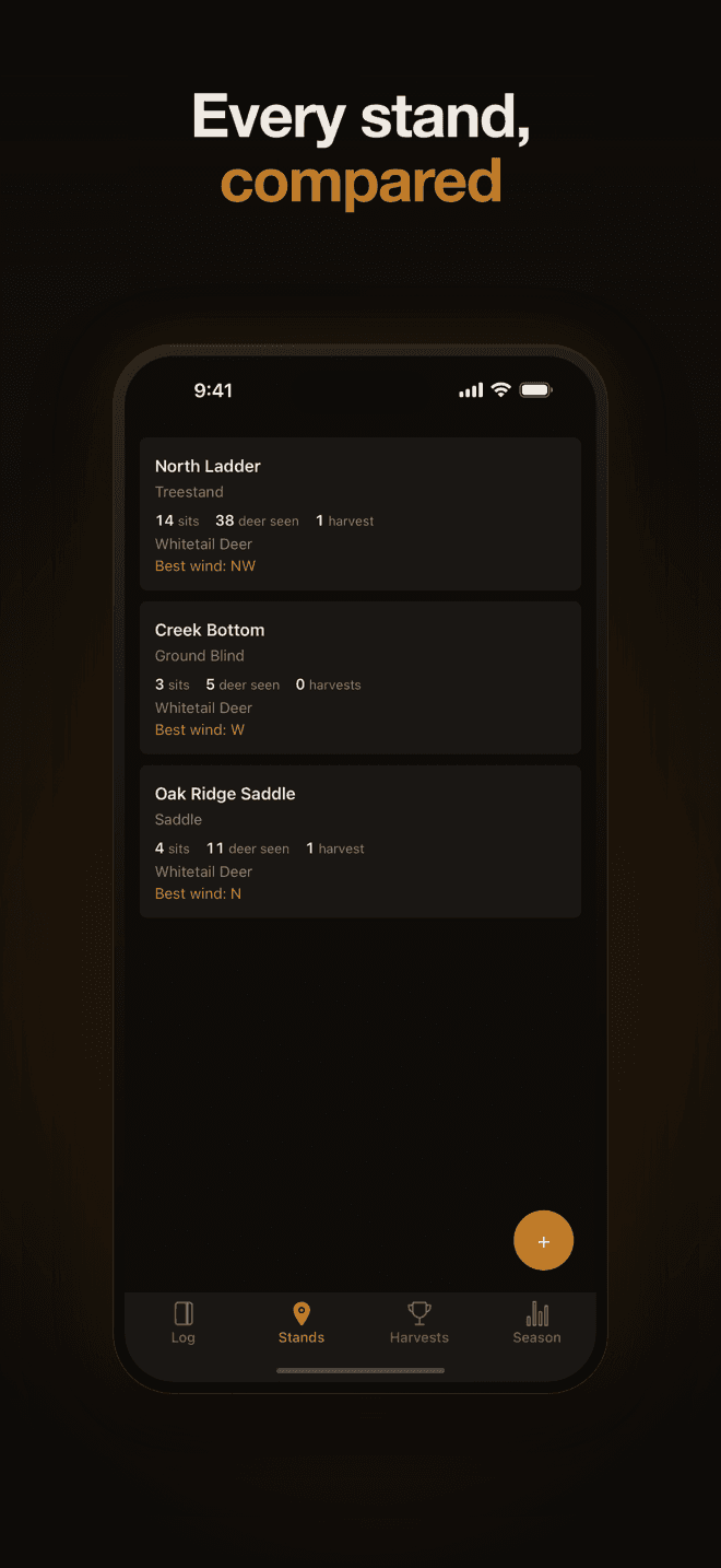
The Hunt today card on the Stands tab takes the forecast wind for your next sit, this morning, this evening or tomorrow, and sorts your stands into the ones that are good on it and the ones that are off it. Each one shows when you last sat it, so the stand that suits the wind and has had a rest is easy to pick.
The map imagery comes from Apple Maps and needs a connection. The stands, the sun times and the saved forecast work without one. The map is part of the free app.